

REAL SPACESREAL DATAREAL IMPACT
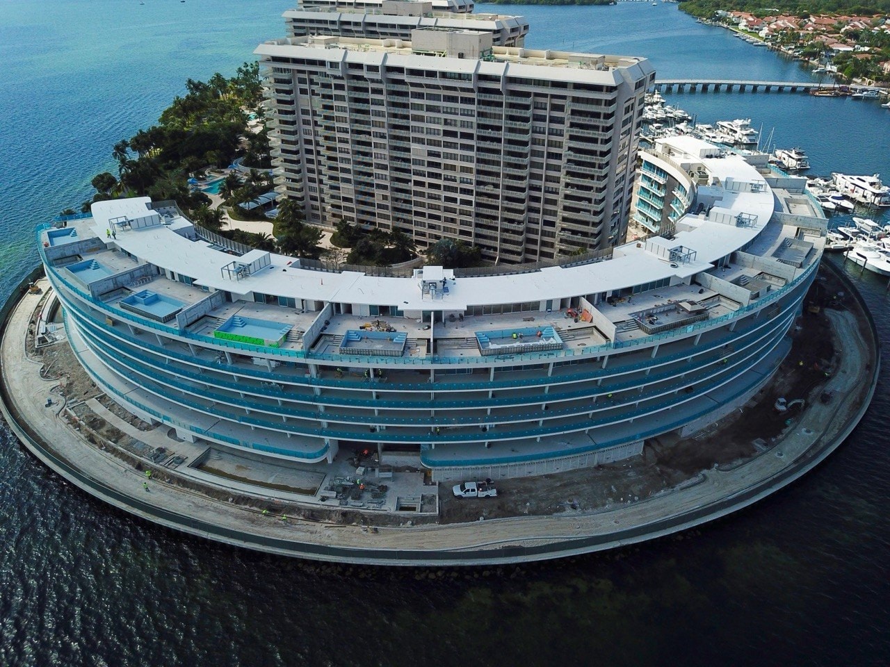
LiDAR and aerial capture from a single mobilization. Registered point clouds, LOD 200 BIM, and dimensioned plans for South Florida construction and design teams.
Our Services
WHAT WE DELIVER
3D Digital Twins
Navigable, measurable LiDAR models of any interior or exterior space. Share a link, take a dimension, revisit the site months later without returning to it.
Floor Plans
Dimensioned 2D plans delivered in PDF and DWG — residential units through large commercial facilities. Schematic or fully annotated.
POINT CLOUD & BIM
Registered E57 point clouds and LOD 200 Revit models, ready to import into Revit, ReCap, Navisworks, and AutoCAD. Your team designs from a real model instead of tracing a cloud.
PROGRESS & PRE-DEMO CAPTURE
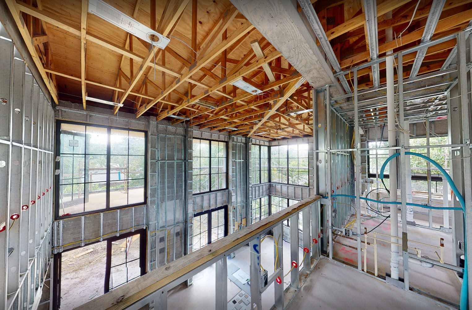
Timestamped records at every phase — before demo, before drywall, at closeout. Documents concealed conditions and backs up change orders when scope is disputed.
Why CAPTURA360?
BUILT FOR PRECISIONDELIVERED WITH SPEED

PRECISION
Millimeter-level LiDAR accuracy, verified per scan position — built for BIM-ready deliverables. Control point workflows available for large-scale projects.
Turnaround
From site capture to delivered assets in 72 hours — keeping your project timeline intact.
BIM-Ready
Registered E57 point clouds, vendor-neutral, direct into Revit, ReCap, Navisworks, and Trimble

READY TO CAPTURE YOUR SPACE?
From a single floor plan to a full LiDAR digital twin — we deliver the spatial data your project demands.